
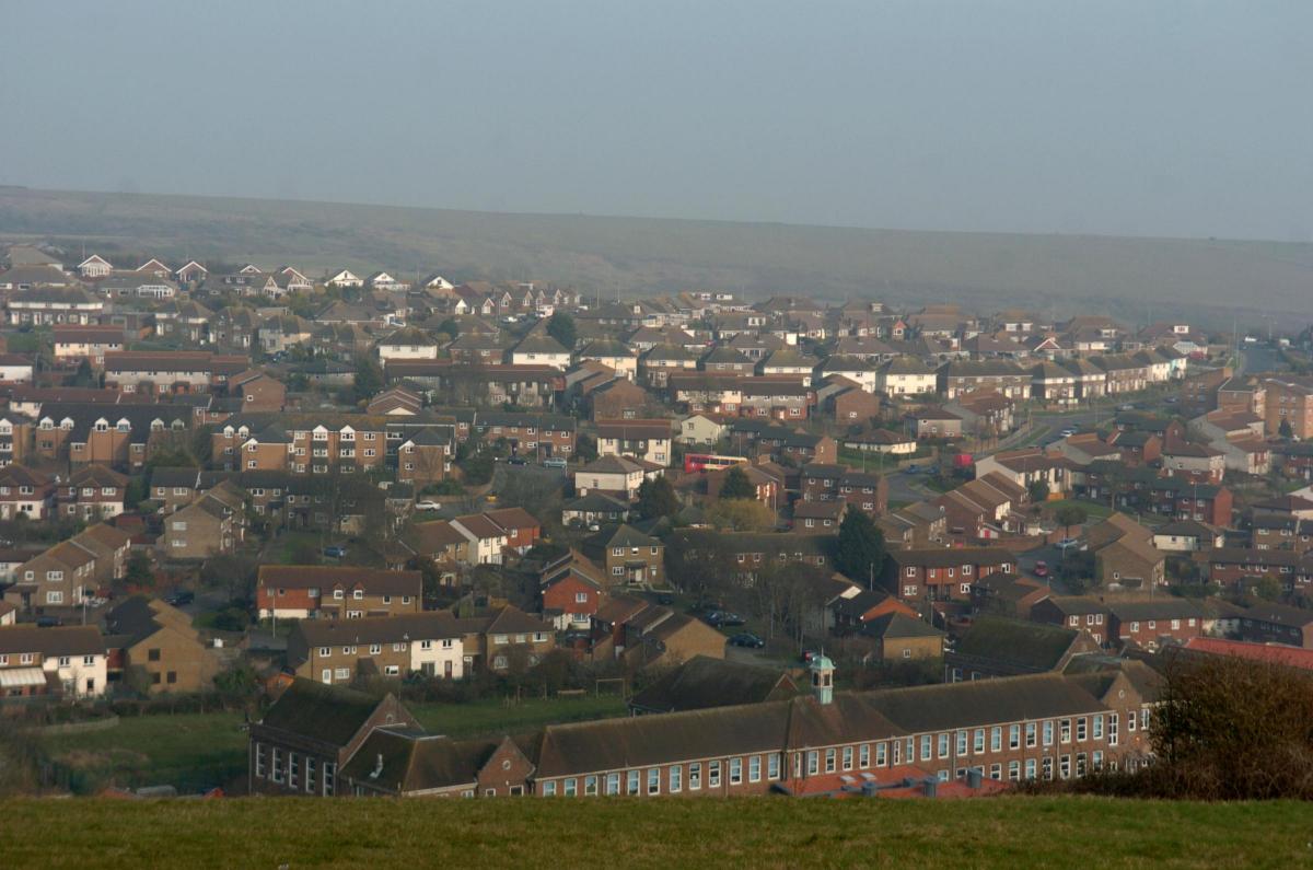
BRIGHTON and Hove is home to some of most deprived but also the most affluent areas in England, new figures show.
The huge variation across the city in crime rates, educational achievement, employment rates and housing provisions have been laid bare by the Government's Indices of Deprivation report.
The study, which is released every five years, looks at deprivation across 32,844 areas of the country, each home to between around 1,200 to 2,000 people.
The most deprived area of city has been named as the northern most part of Whitehawk, which is the 332nd most deprived area in the country - putting it just outside the bottom 1%.
The second most deprived area is also in Whitehawk - around the Whitehawk Clinic - ranked 338.
The lower part of the estate is number four while various parts of nearby neighbouring estate Moulscoomb feature four times in the top ten of the most deprived areas in the city.
The western part of Moulscoomb is sixth (1013 nationally), the area west of Lewes Road, including Hollingdean, is seventh (1056), north Moulscoomb is eighth (1081) and north east Moulscoomb tenth (1497).
The rest of the top ten include the area east of the Old Steine including Ashton Rise and Albion Street in third (340), the area south of Brighton College including Hereford Street and Somerset Street fifth (459) and south Hangleton in ninth (1483).
Some parts of Whitehawk and Moulscoomb are so deprived they come in behind areas of Tower Hamlets in London and Moss Side in Manchester.
Martin Tudsbury, 58, chairman of South Hawk Tenants' Association, said he was surprised to see Whitehawk up there with the most deprived in the country.
He said: "I think Whitehawk has got a stigma from the 1950s when it was quite bad, but on the whole it is a great place to live.
"It is not without its problems, there are a number of people here who are in need. But we have have a great community spirit here."
Mary Gretton, 50, secretary of East Central Moulsecoomb Tenants and Residents' Association, said she was not surprised her neighbourhood was among the most deprived.
But she said Moulsecoomb is better than people believe.
She said: "I have lived here all my life and it has changed a great deal. Crime has gone down for one. There used to be a time when you would get in and lock the door. Now I feel very safe out at night. I think the main problem is with housing. "They are all very old and we are always being promised new kitchens and bathrooms only to be told the money has run out."
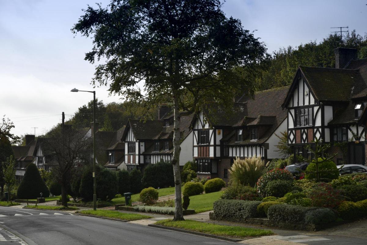
However, conversely the city has some of the most affluent and least deprived areas in England, in some cases just a few roads from the areas mentioned above.
In general the further west you go the less deprivation there is. The least deprived area is the pocket of Hove around the likes of Togndean Avenue, and Woodruff Avenue (31,646 nationally out of 32,844). Next is north Westdene (31,602), followed by the northern part of Hove including Queen Victoria Avenue, Elizabeth Avenue and Sandringham Drive (30,078).
Fiveways follows (30,006) with the area north of Varndean College (30,002) rounding off the top five.
Andy Winter, chief executive of Brighton Housing Trust, said he was not surprised by the variations.
He said: "We have always had huge differences in deprivation across the city. Often these areas of affluence and poverty are side by side, for example in Regency Ward. Quite often these differences are hidden by the grand Regency facades."
He added that it was key to tackle both the cost of living and in particular rent to reduce the gap.
Council leader Warren Morgan said he was "acutely aware" of the range in economic circumstances.
He added: "Tackling poverty and income inequality is central to our goals, and that’s why we have set up the city’s Fairness Commission.
"The Commission will help us do this in a way that is based on evidence from local people and groups."
For details visit brighton-hove.gov.uk/fairness-commission.
‘HIGH’ CRIME RISK
THOSE living in inner city Brighton and Hove are among the most at risk of crime in the country.
The stretch from the Old Steine to Churchill Square Shopping Centre, taking in The Lanes up to North Street, is ranked 15th (out of 32,844) in the crime domain of government deprivation statistics.
The crime domain measures the risk of “personal and material victimisation”.
Next highest in the city is the area to the north and east of Whitehawk follow by south of St James’s Street down to the seafront.
Areas of Blackpool dominate the top ten nationally.
AREA ‘BAD TO LIVE IN’
THE area around the Palace Pier roundabout and to the east towards St James’s Street is the seventh worst “living environment” in England in new government statistics.
The measure takes into account the quality of housing along with air quality and the number of traffic accidents.
Brighton and Hove did particularly poorly in this measure with seven areas in the top 100 nationally.
They include the end of Montpelier Road, The Lanes and the roads to the south of Edward Street.
UNHEALTHY RESULTS
FAMILIES living just metres from the city’s main hospital suffer among the worst health deprivation in the country.
The area to the south of Brighton College’s main campus in Eastern Road, including Somerset Street, Hereford Street and Essex Street, came 13th nationally – by far in the bottom one per cent.
The ranking was measured by the risk of premature death and impairment of quality of life through poor physical and mental health. Also scoring poorly were the areas around Ashton Rise and Whitehawk.
AREAS OF URBAN DEPRIVATION
DESPITE the high cost of living in the city there are 14 areas of Brighton and Hove in the bottom one per cent for low income deprivation.
Whitehawk, around the Whitehawk Clinic, is bottom in the city (79th nationally), the area around Ashton Rise is second worst with central Whitehawk third worst.
The low income measure looks both at rates of pay and also the numbers of those out of work. Studies show that Brighton and Hove has one of the highest costs of living in the country.


Comments: Our rules
We want our comments to be a lively and valuable part of our community - a place where readers can debate and engage with the most important local issues. The ability to comment on our stories is a privilege, not a right, however, and that privilege may be withdrawn if it is abused or misused.
Please report any comments that break our rules.
Read the rules hereLast Updated:
Report this comment Cancel