

PLANS are underway to deal with “blizzard-like” conditions as snowfall has been forecasted.
There is an amber weather warning in place for parts of the South East, and temperatures are set to tumble in Sussex too.
Forecasters say large parts of Sussex could be affected by up to 10cm of snow on Saturday night and into Sunday morning.
That is because freezing cold air is being blown in from the Arctic and Scandinavia over the North Sea.
The air will collide with Storm Darcy, leading to some disruption across the UK.
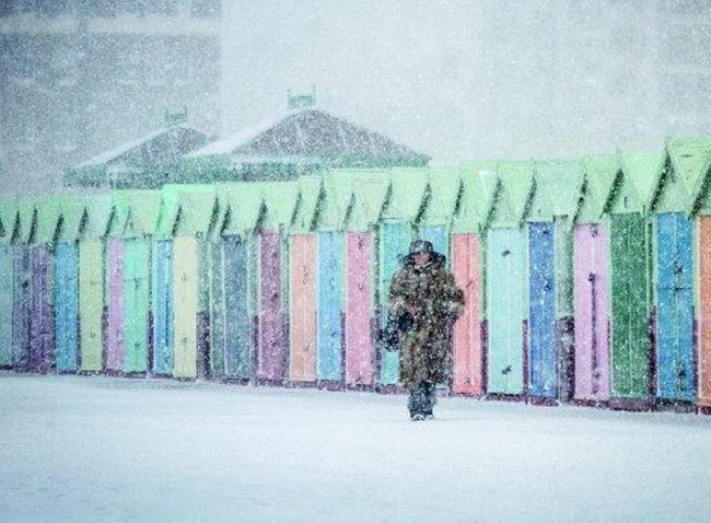
Media outlets are already branding the weather as “The Beast from the East”, a throwback to 2018 when the South East was last hit by repeated snow showers.
It left parts of the city able to enjoy the white stuff with children out sledging.
The Beast from the East was photographed by Simon Dack in 2018, who snapped scenes at Queens Park in Brighton.
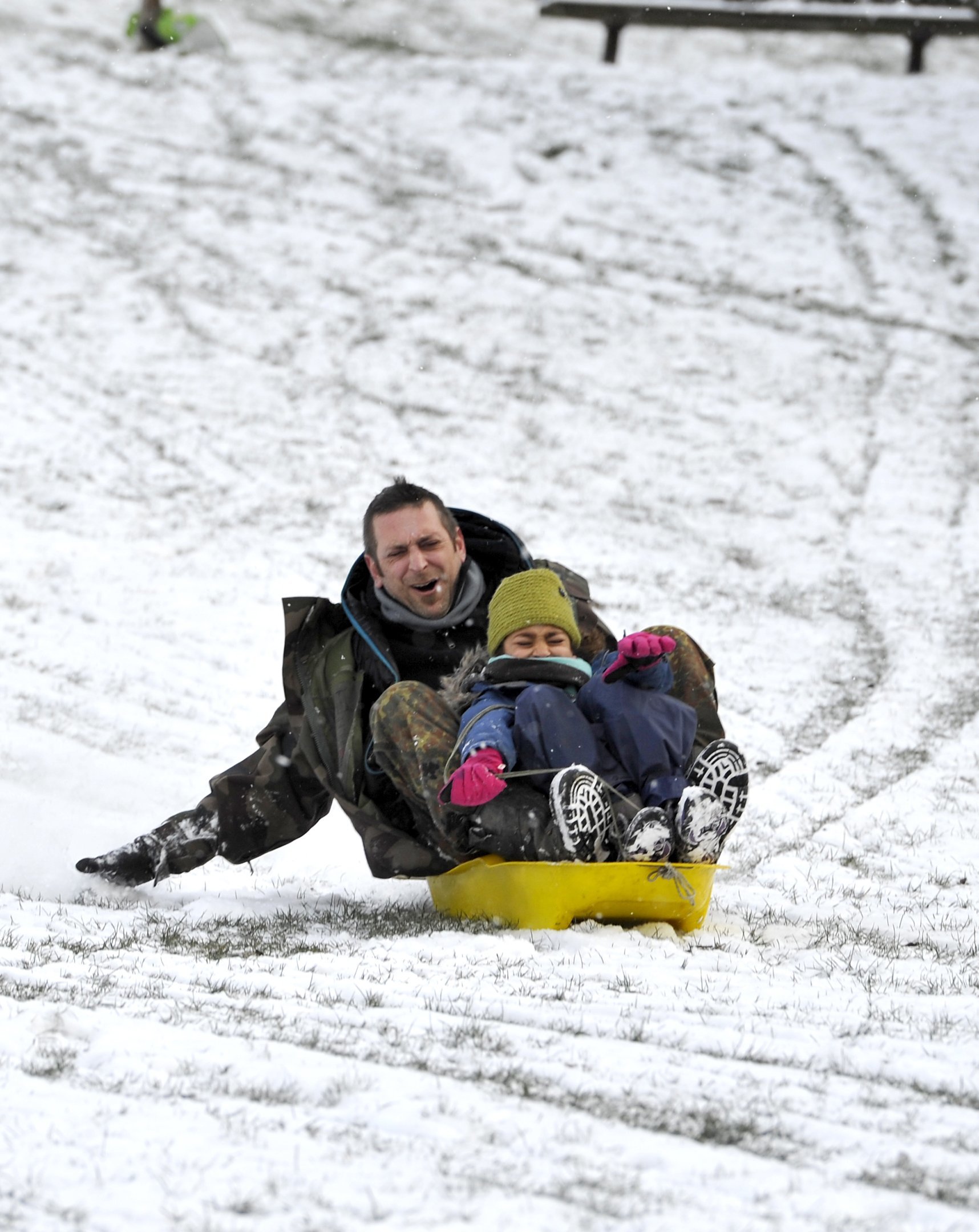
Brighton UK 27th February 2018 - Sledging fun in Queens Park Brighton early this morning as the 'Beast of the East' snow storms spread across Britain today with more snow and freezing weather forecast for the rest of the week.Photograph taken by Simon
Previously The Argus has also reported on big snow days in both 2009 and 2010 when the beach at Brighton and Hove has covered.
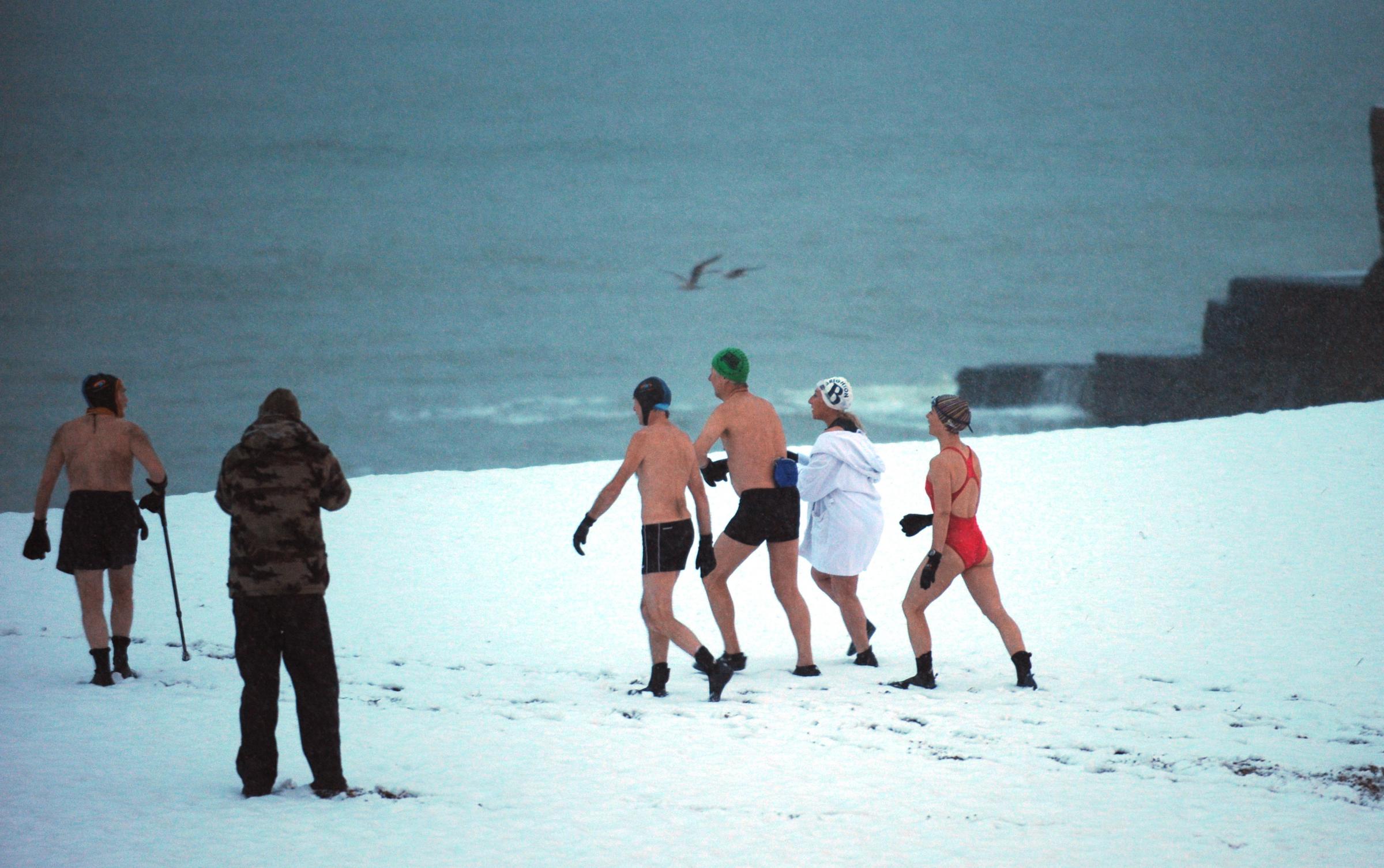
Brighton Swimming Club members out for their daily dip despite the weather after more snow fell this morning causing chaos in the city again.Photograph taken by Simon Dack 13 january 2010.
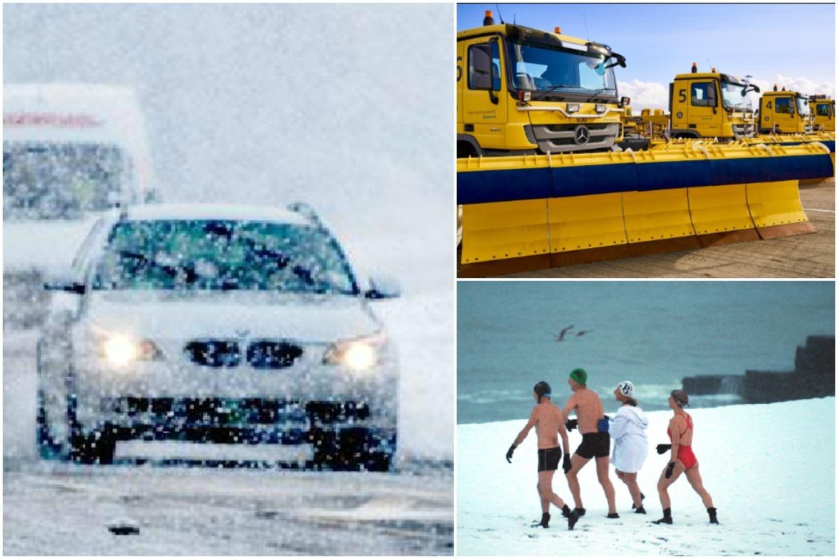
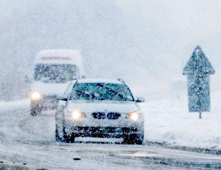
In Sussex Highways England says conditions will be difficult for any motorists on the roads.
Operations manager Edward Oag said: “Gritters are out treating our routes but it is still important to drive to the conditions when snow is forecast.
“If you need to make an essential journey, make sure you keep your distance and reduce your speed because, even in conditions that seem normal and the snow is not settling, it can be slippery if ice patches have formed, or where fresh salt has not been worked into the carriageway.
“Drivers should plan their journeys, monitor weather reports and pack a snow kit of blankets, food, water and a shovel if they really need to travel.”
Meanwhile Gatwick Airport has already got the snow ploughs ready to clear the runway to allow aircraft to land and take off safely.

Plans for snow at Gatwick Airport, February 2021
Various warnings for snow and ice across the eastern length of Britain are in place until Wednesday.
Heavy disruptive snow is expected in south-east England along with 40-50mph wind gusts that could cause snowdrifts from Sunday through to Monday morning, according to the Met Office.
Meteorologist Sarah Kent said: “There will be significant disruptive snowfall across the South East.
“Within this area, there is a small chance particularly over the Downs of Kent and the North Downs that you could see 25-30cm of snow.
“It is a small chance but the threat is there, up to a foot of snow potentially combined with extremely strong easterly winds. Even inland in that area, gusting could be 45mph and higher than that on the coasts.
“This could lead to significant drifting of any lying snow and obviously blizzards for the snow coming past you for anyone who is attempting to travel.
Mety Office yellow warnings for snow in York have been extended to five days
“Sadly there will be people who have to make journeys for the emergency services and there are still lorries that have to go to the ports. It is going to be really disruptive.
“With that sort of snowfall, you would expect some roads to be closed or blocked by the drifting snow, and long delays or some cancellations of public transport.
“We are only looking at significant snowfall tomorrow across the south east of England, so while we have these cold easterly winds it is not as widespread as the Beast from the East in 2018.
“Tomorrow’s events – the easterly winds originate from Ukraine and the Black Sea – eastern Europe – the air will be cold but it will not be as bitingly cold as it was back in 2018.”


Comments: Our rules
We want our comments to be a lively and valuable part of our community - a place where readers can debate and engage with the most important local issues. The ability to comment on our stories is a privilege, not a right, however, and that privilege may be withdrawn if it is abused or misused.
Please report any comments that break our rules.
Read the rules hereLast Updated:
Report this comment Cancel