

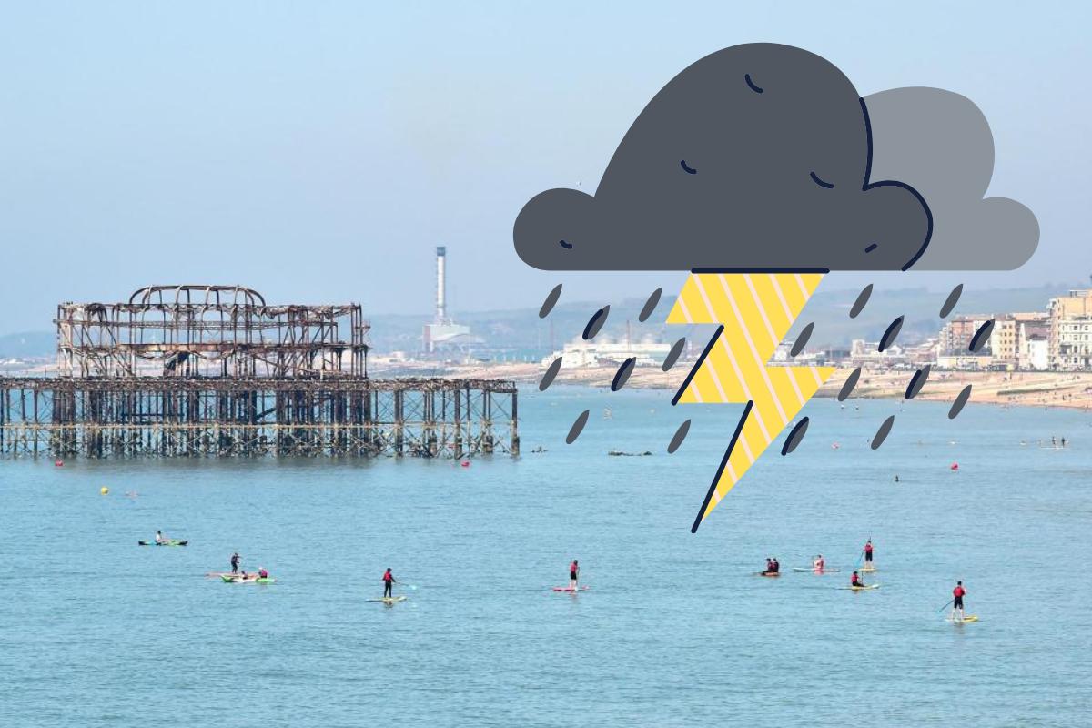
STORMS are expected for Brighton this afternoon.
According to the Met Office, thundery showers will hit the city by late afternoon.
In Brighton and Hove, conditions will be dry and sunny throughout the morning becoming “hazier” as the day goes on.
The cloudy conditions will bring a risk of “very isolated, thundery showers”, which could last into the evening.
A band of #showers, some heavy & #thundery, is running northwards across parts of the southwest this morning.
— Met Office (@metoffice) June 2, 2021
Although rather localised, do take care if you find yourself caught in a heavy downpour 🌧️⛈️ pic.twitter.com/k8uCOssNYI
Despite the risk of downpours, temperatures will remain high reaching a maximum of 29C.
The Met Office has predicted that conditions will stay dry this evening, though further isolated thundery showers are possible overnight.
Some people may see mist and fog patches forming around dawn, but overnight temperatures will remain mild, with a minimum temperature of 9C.
Yesterday, Herstmonceux near Hailsham saw temperatures of around 25C and people in Shoreham experienced highs of 23C.
After a cool and wet May, people have flocked to the seafront to enjoy the long-awaited sunshine.
Revellers packed out pubs and restaurants over the bank holiday weekend, and some even braved the sea to cool off from the roasting temperatures.
But for those who have been unable to make the most of the warmer conditions, there will still be a chance to bask in the sunshine as it looks set to stick around for the remainder of the week.
Below is the Met Office weather forecast for Thursday, 3 June and heading into the weekend:
Thursday:
Mist and fog soon clearing to leave a fine sunny morning. Some cloud will build into the afternoon with a risk of isolated thundery showers developing, though most parts dry. Maximum temperature 28 °C.
Outlook for Friday to Sunday:
Frequent heavy or thundery showers on Friday and feeling fresher. Largely fine and dry Saturday and Sunday, with long sunny spells and becoming very warm again with light winds.


Comments: Our rules
We want our comments to be a lively and valuable part of our community - a place where readers can debate and engage with the most important local issues. The ability to comment on our stories is a privilege, not a right, however, and that privilege may be withdrawn if it is abused or misused.
Please report any comments that break our rules.
Read the rules hereLast Updated:
Report this comment Cancel