

A BLUEPRINT aimed at bringing thousands of new homes and jobs to Brighton and Hove is due to be debated by councillors in the coming week.
The document – known as City Plan Part Two – sets out a raft of policies which are intended to reflect local priorities in the years ahead.
Brighton and Hove City Council is required to draw up its strategic plan and, once ratified by councillors, it will be used as a reference point when planning application are decided.
A report to the council’s Tourism, Equalities, Communities and Culture Committee has been published in support of the City Plan.
The Part Two document has been drawn up to supplement the City Plan Part One which contained less detail and which was adopted six years ago.
The new plan identifies seven “strategic” sites for housing, including Brighton General Hospital, in Elm Grove, and land in New England Road, Brighton, and Lyon Close, Hove.
The seven sites include the Sackville Trading Estate and old coal yard, in Hove, where planning permission has been granted for more than 800 homes and building is under way.
The plan includes 39 “brownfield” sites expected to provide at least 1,570 new homes and business opportunities.
It also includes 16 “greenfield” sites where more than 900 homes could be built on the “urban fringe” around Brighton and Hove – a source of some controversy.
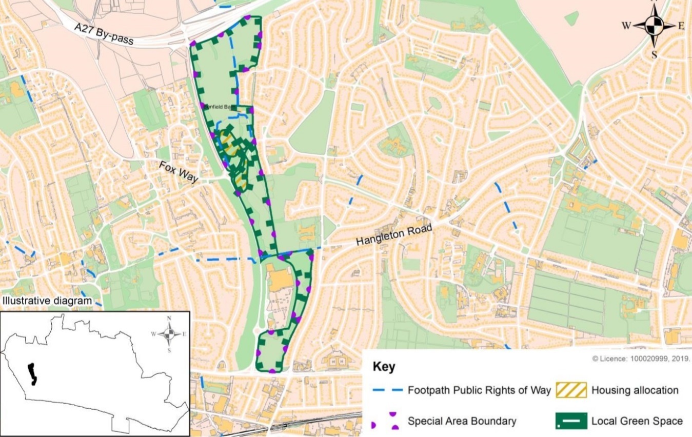
The government told the council to find more sites for new housing, resulting in the inclusion of parts of the Whitehawk nature reserve and Benfield Valley.
Campaigners wanted Whitehawk Hill and the racecourse to be retained as green spaces but a government planning inspector rejected their calls.
The council is expected to ramp up housebuilding to tackle a shortfall of new homes.
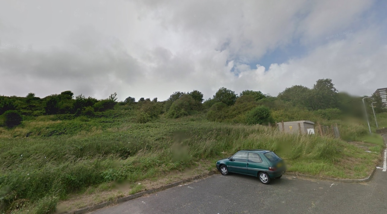
Benfield Valley proposed development area
Sites earmarked for housing north and south of Hangleton Lane were described as using the “least sensitive” parts of the open spaces there.
About 100 new homes have been pencilled in for land to the east of the A293 Link Road.
Residents in Patcham had better luck, persuading the inspector to remove land next to Horsdean Recreation Ground from the housing plans after weighing up a proposal for 10 homes against the loss of habitat.
The inspector also adjusted the extent of a proposed site bordering downland on the northern edge of Saltdean. As a result, officials expect 18 homes to be built there rather than 24.
The report to councillors about the plan said that it would ensure a variety of types of homes, make adjustments to shopping centre boundaries and recognised “the importance of local parades”.
Whitehawk Nature Reserve
The plan also contains proposals to limit the “density” of shared houses – or houses in multiple occupation (HMOs) – sometimes referred to as student houses.
The report said: “The City Plan Part Two has been found to be sound and legally compliant, subject to the main modifications required by the inspector.
“At this point, the council cannot adopt a plan that is materially different from that recommended by the examination inspector. The council cannot choose to accept some of the modifications and not others.
“The only options available to the council at this stage are to either adopt the plan in its entirety, with all of the main modifications required by the inspector, or to not adopt the plan at all.”
The Tourism, Equalities, Communities and Culture Committee is due to meet at Brighton Town Hall on 4pm on Thursday 15 September. The meeting is scheduled to be webcast on the council’s website.
The final decision on the plan will be made at a meeting of the full council next month.


Comments: Our rules
We want our comments to be a lively and valuable part of our community - a place where readers can debate and engage with the most important local issues. The ability to comment on our stories is a privilege, not a right, however, and that privilege may be withdrawn if it is abused or misused.
Please report any comments that break our rules.
Read the rules hereLast Updated:
Report this comment Cancel